GRAN CANARIA DAMS WITH WATER ALL YEAR ROUND
Gran Canaria is a land of sun and water. Discovering the green landscapes of Gran Canaria in the months between September and April offers hikers authentic hiking opportunities, unique beauty and tranquility.
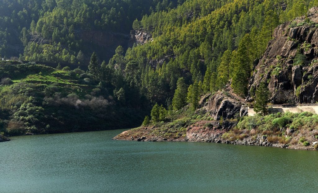
The dams that accumulate water annually or biannually, depending on the rainfall are La Presa de Chira, La Presa de Soria, La Presa de Gambuesa, La Presa de Tirma, La Presa del Mulato, La Presa de Candelaria, La Presa de Fataga. The dams reach up to 3 million cubic meters a year.
Excursion to the Dams of Gran Canaria
Gran Canaria has about 167 dams. It is thanks to the «1930 Hydraulic Works Plan» where the survival method is created through the creation of dams, wells, galleries ... The first dam was completed in 1910, the Pinto dam in Arucas, it is from here that the hydrological infrastructure of Gran Canaria is born.
Gran Canaria has infrequent, very localized rains and these rains have been channeled mainly thanks to the natural ravines, towards different points that are shown in this map of dams where hikers can obtain information to visit through hiking routes or in car.
The information has been worked from Wikipedia, Waters of Gran Canaria, Rural Atlas of Gran Canaria, Hello Canary Islands, Canary Flows, Gran Canaria, Blog Jaime J. González, Geographer
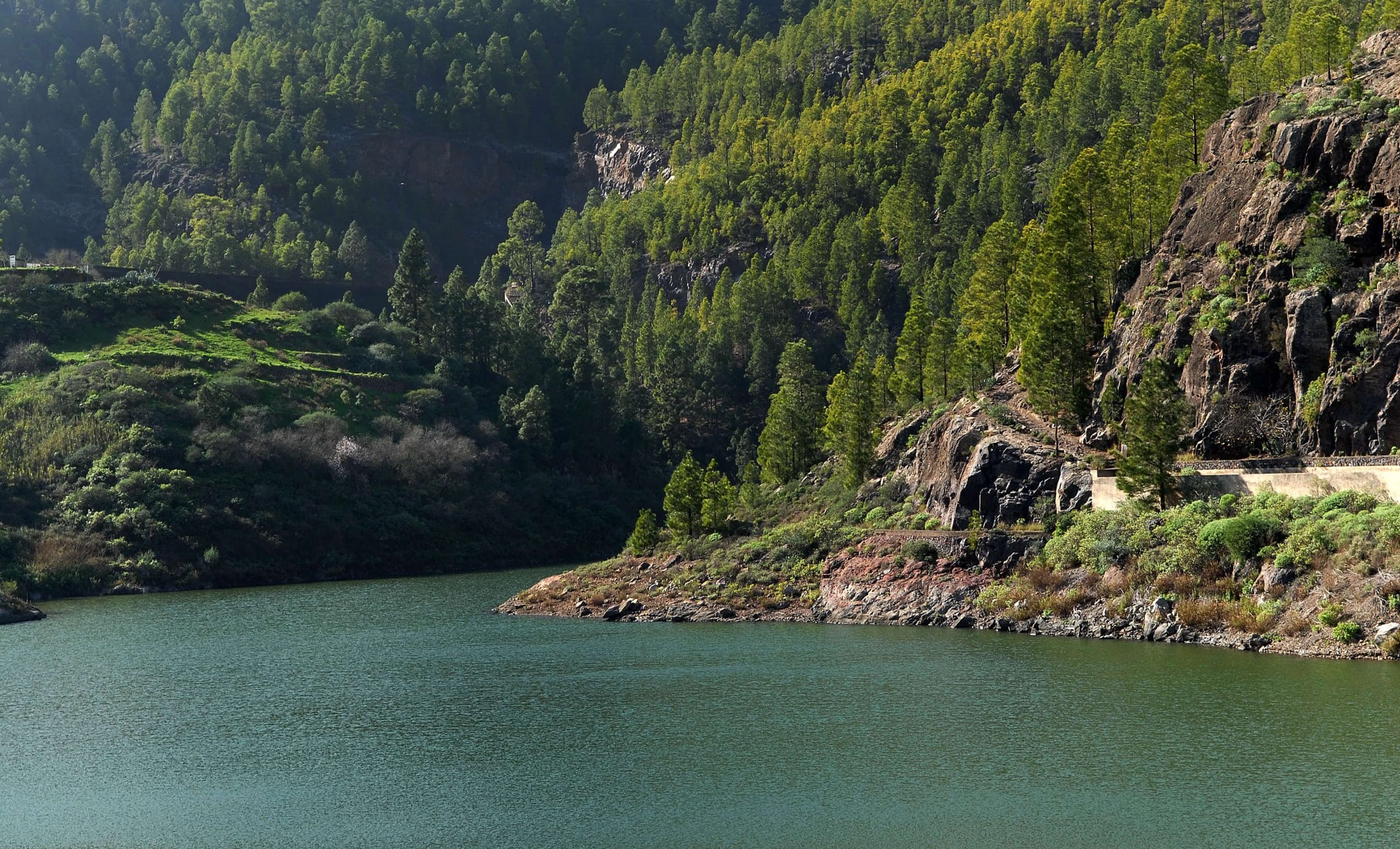
Gran Canaria dams with water all year round
| L | M | X | J | V | S | D |
|---|---|---|---|---|---|---|
| 1 | 2 | 3 | 4 | 5 | 6 | 7 |
| 8 | 9 | 10 | 11 | 12 | 13 | 14 |
| 15 | 16 | 17 | 18 | 19 | 20 | 21 |
| 22 | 23 | 24 | 25 | 26 | 27 | 28 |
| 29 | 30 | |||||

